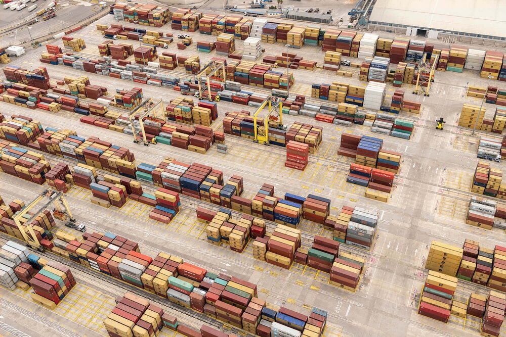
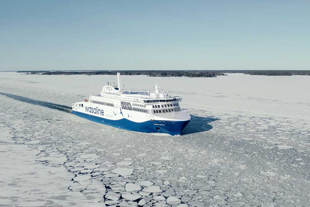
Rotterdam wants to use a geofencing system to optimise shipping traffic in front of the port and minimise pollutant emissions.
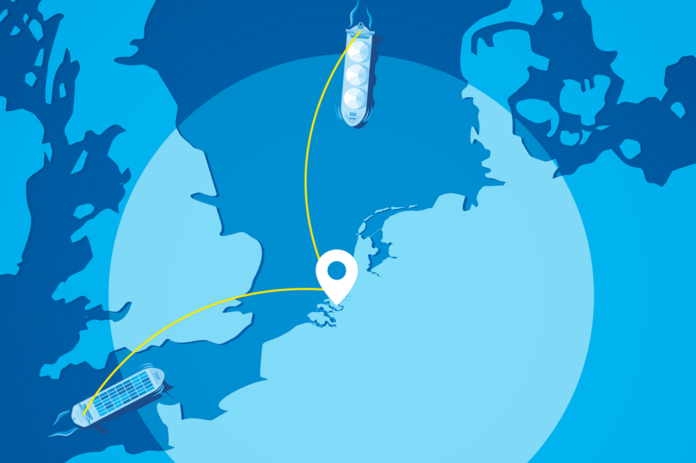
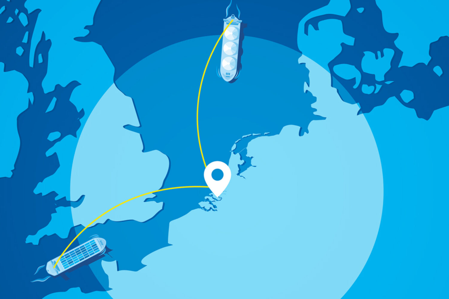
From mid-October, terminal planners and shipping agencies will receive an e-mail notification as soon as a ship passes an imaginary line, the so-called “geofence”, and enters the Port Passage Planning Area (PPA) in front of the port of Rotterdam. This geofence is located at a distance of 240 nm around the Maascenter buoy.
When passing this line, the ship receives an Actual Time of Arrival (ATA) in the PPA, which enables more accurate planning of arrival times and reduces waiting times.
Geofencing saves fuel and emissions
Just-in-time shipping offers considerable advantages, both in terms of the environmental footprint and the operating costs of shipping. A study from 2022 shows that container ships can reduce their fuel consumption and resulting carbon dioxide emissions by 4.23% per voyage if they use just-in-time arrivals in the last 12 hours of a voyage.
The study was commissioned by the Global Industry Alliance to Support Low Carbon Shipping (Low Carbon GIA) as part of the “GreenVoyage2050” project of the International Maritime Organization (IMO) and Norway.
The implementation of the geofencing system is a joint initiative of various parties within the port, including terminal operators, shipping agents and nautical service providers.
