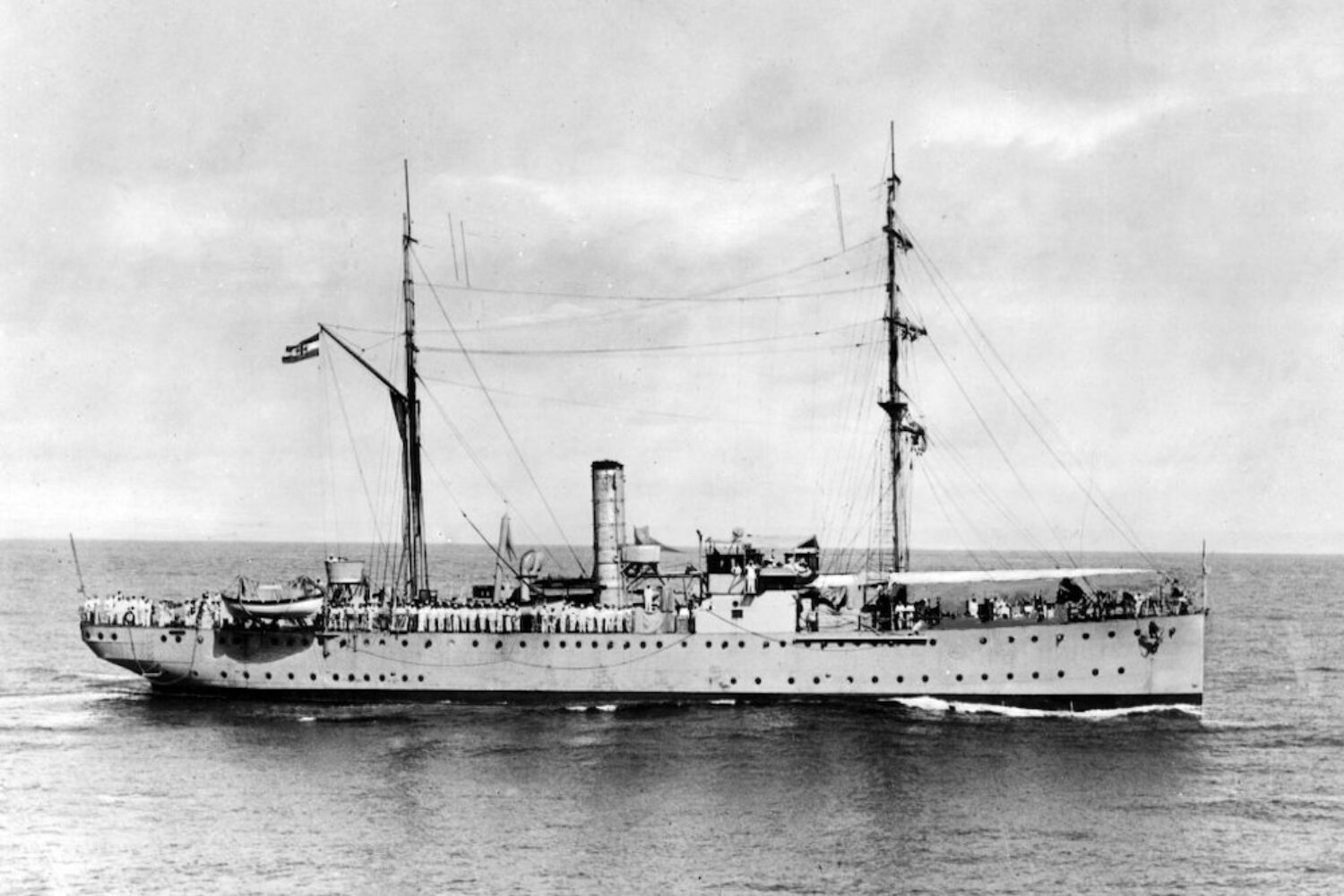
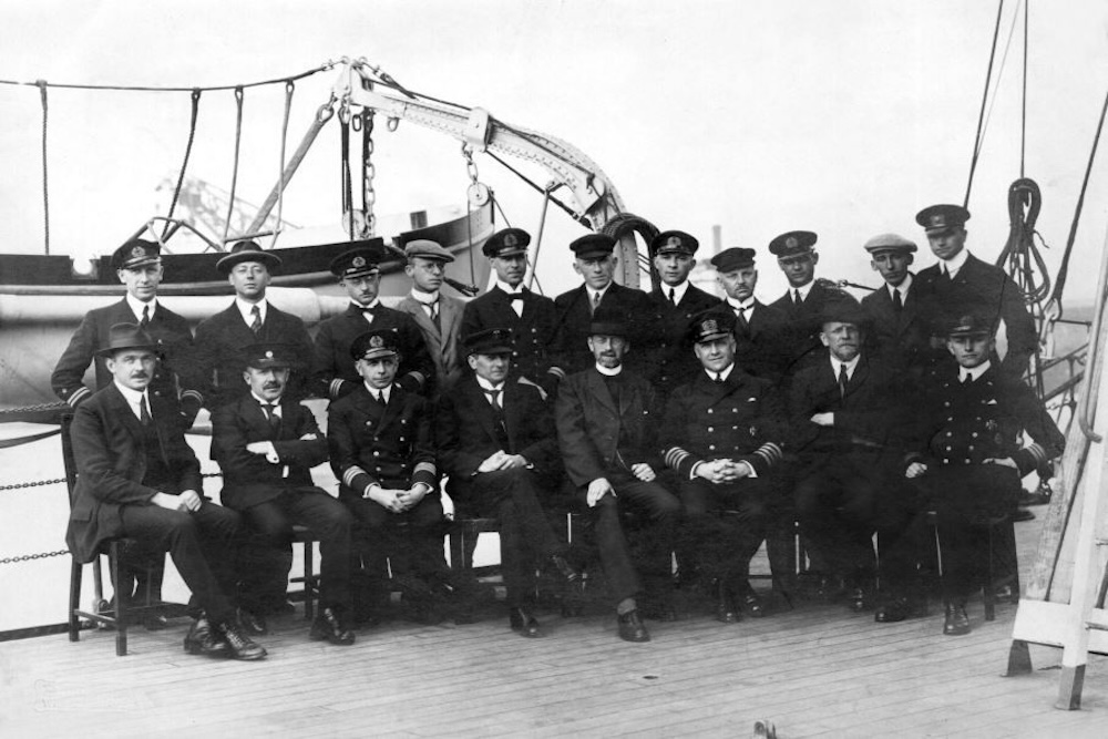
It is the 100th anniversary of the departure of the first German Atlantic expedition. The “Meteor” set sail from Wilhelmshaven on April 16, 1925.
Originally planned as a gunboat, the ship was converted into a surveying and research vessel after the First World War in order to systematically explore the Atlantic.
Within just over two years, the ship crossed the ocean between South America and Africa 14 times. For the first time ever, the South Atlantic – from 20 degrees north latitude to the Antarctic ice edge – was systematically surveyed. The data and insights gained in the process continue to enrich marine research to this day.
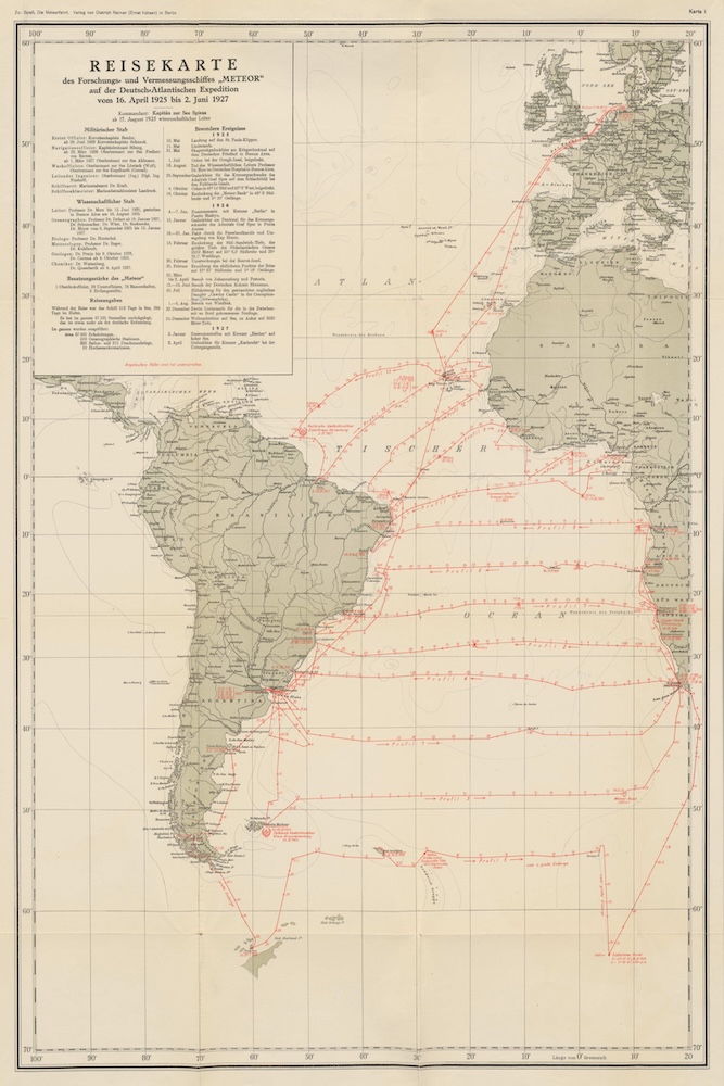

Groundbreaking technology for marine research
By the standards of the time, the “Meteor” was equipped with state-of-the-art technology, including the so-called Behm echo sounder for depth measurement. This invention used sound waves to measure the depths of the sea, which was revolutionary compared to the old method using rope and lead. The main depth measurements were carried out using the atlas and signal sounding methods commonly used at the time.
In total, the crew carried out around 67,000 depth measurements, mapping the South Atlantic in detail. One of the most important discoveries was the identification of the Mid-Atlantic Ridge, a submarine mountain range that runs through the entire ocean. The expedition thus ushered in the age of echo sounding and marked the beginning of modern marine research.
Surveying central task of the BSH
Today, the Federal Maritime and Hydrographic Agency (BSH) is continuing this scientific legacy. “While the Meteor Expedition pioneered mechanical measurement methods 100 years ago, today digital technologies enable us to survey maritime space even more accurately and efficiently,” explains BSH President Helge Heegewaldt “We can only meet the challenges of the future – from rising sea levels to the sustainable use of the oceans – with state-of-the-art technology and international cooperation.”
One of the BSH ‘s central tasks is the systematic surveying of the North Sea and Baltic Sea. Predecessor institutions have been involved in this task since the 1890s – a tradition that the BSH continues today with high-precision methods and state-of-the-art equipment.
Pioneering technologies for marine protection
The BSH research vessels travel around 12,000 km every year to record the seabed, tidal flats and underwater obstacles using echo sounders and side-scan sonars. This data is essential for the safety of shipping, the protection of maritime ecosystems, the preliminary investigation of areas to be used for offshore wind, for example, and the investigation of climate-related changes.
Artificial intelligence is increasingly being used here: specially developed software automatically recognizes rocks on the seabed – up to ten times faster than previous methods. The basis for this is formed by hundreds of thousands of training data, which were previously marked manually.
Modern monitoring buoys have replaced stationary platforms
The BSH’s oceanographic monitoring network is also being further optimized. Stationary platforms are being supplemented by modern monitoring buoys, which offer significant advantages both economically and technically. They provide continuous data on temperature, salinity and oxygen content of the water as well as meteorological conditions – from the seabed to 250 meters above the water surface. They are powered by environmentally friendly solar and wind energy and transmit data via satellite or mobile communications.
Another essential component of marine and climate research are autonomously measuring Argo floats. Around 4,000 of them are underway worldwide, continuously recording temperature, salinity and biogeochemical data. The Argo program provides a continuous view into the interior of the ocean. For 25 years, it has stood for successful international cooperation, enabling the floats to be deployed over a wide area and a shared data infrastructure. The BSH coordinates the participation of the Federal Republic of Germany in the international Argo program.
Current “Meteor” shortly before the start of the expedition
The current “Meteor” is also about to depart on its next expedition on April 27. The successor ship of the same name will focus on geochemical and biological sampling at hydrothermal vents along the then discovered Mid-Atlantic Ridge between 36°N and 38°N as part of cruise M210. First and foremost, the peridotitic Rainbow Massif, where diffuse springs and associated mussel beds were first sampled during M190, will be re-investigated. Furthermore, fluids, precipitates and biota at the volcanically active Lucky Strike Seamount and the Menez Gwen and Saldanha Seamounts will be investigated.


